Share this article
Land Surveying Equipment List: Essential Tools & Supplies for Survey Crews
A professional land survey crew depends on more than one piece of equipment. Modern surveyors use a combination of GNSS technology, total stations, levels, poles, tripods, measuring tools, marking products, and traditional field supplies to complete accurate work efficiently.
If you are searching for a land surveying equipment list, building a new survey crew, restocking a field truck, or deciding which surveying tools to buy, this guide covers essential equipment and supplies available from United Surveying Supplies in Round Rock, Texas.
From precision surveying instruments to everyday consumables, choosing the right equipment can help reduce downtime and keep crews prepared for boundary surveys, construction staking, topographic work, site development, engineering projects, and more.
1. GNSS Receiver
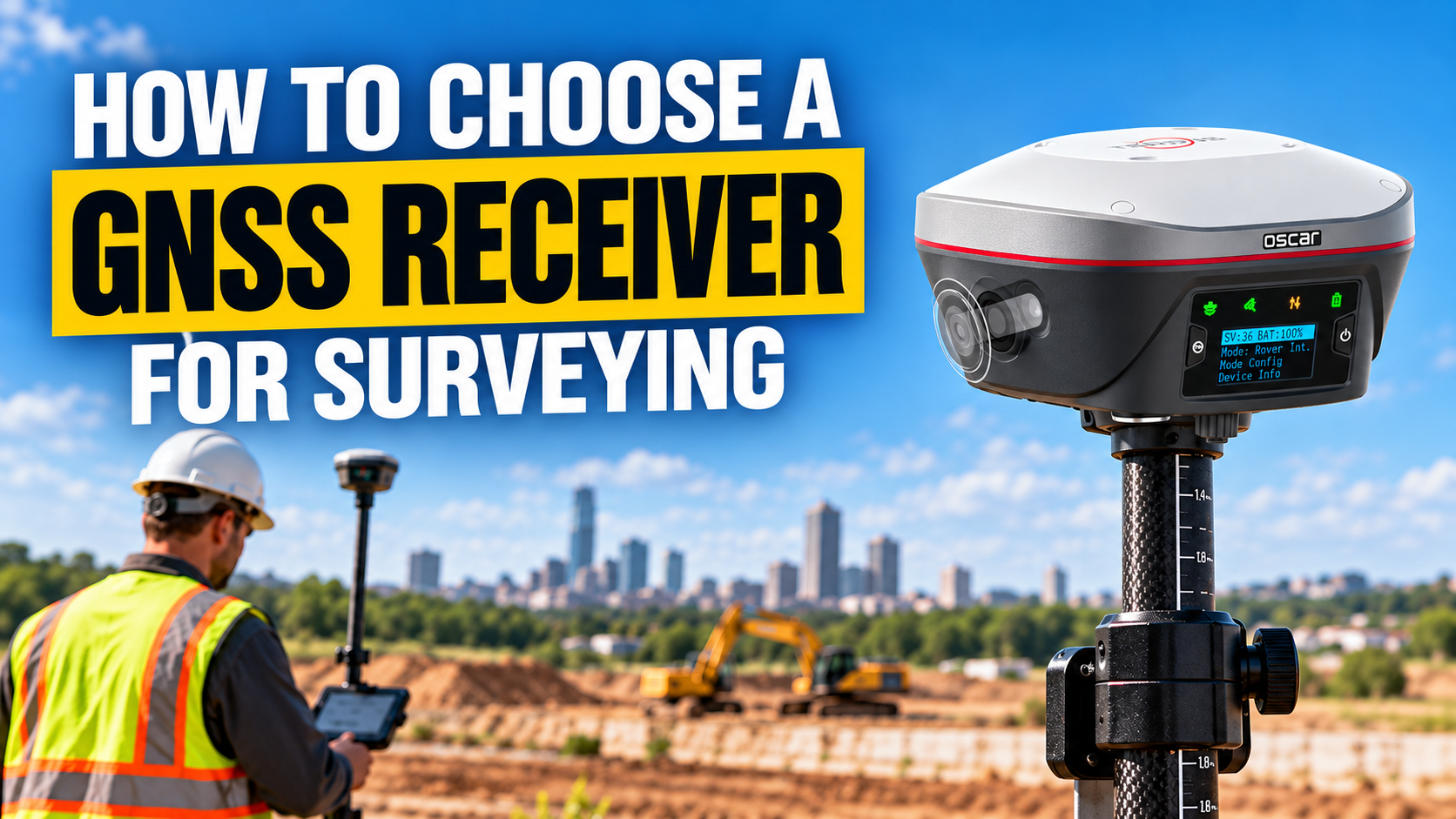
A GNSS receiver is one of the most important pieces of modern land surveying equipment.
GNSS systems allow surveyors to collect precise positioning data for boundary work, construction staking, topographic surveys, site development, utility mapping, control, and other field applications.
One available option is the Oscar Trek GNSS Receiver from Tersus. The Oscar Trek is designed for professional positioning workflows and includes visual positioning, multi-constellation support, UHF, cellular connectivity, and tilt compensation.
When comparing GNSS equipment, consider correction services, field software, controller compatibility, accuracy requirements, battery life, and whether your crew needs a rover-only or base-and-rover configuration.
2. Total Station
A total station combines electronic distance measurement with horizontal and vertical angle measurement.
Survey crews commonly use total stations for construction layout, boundary surveys, control, roadway projects, building layout, topographic work, utilities, and other precision measurement tasks.
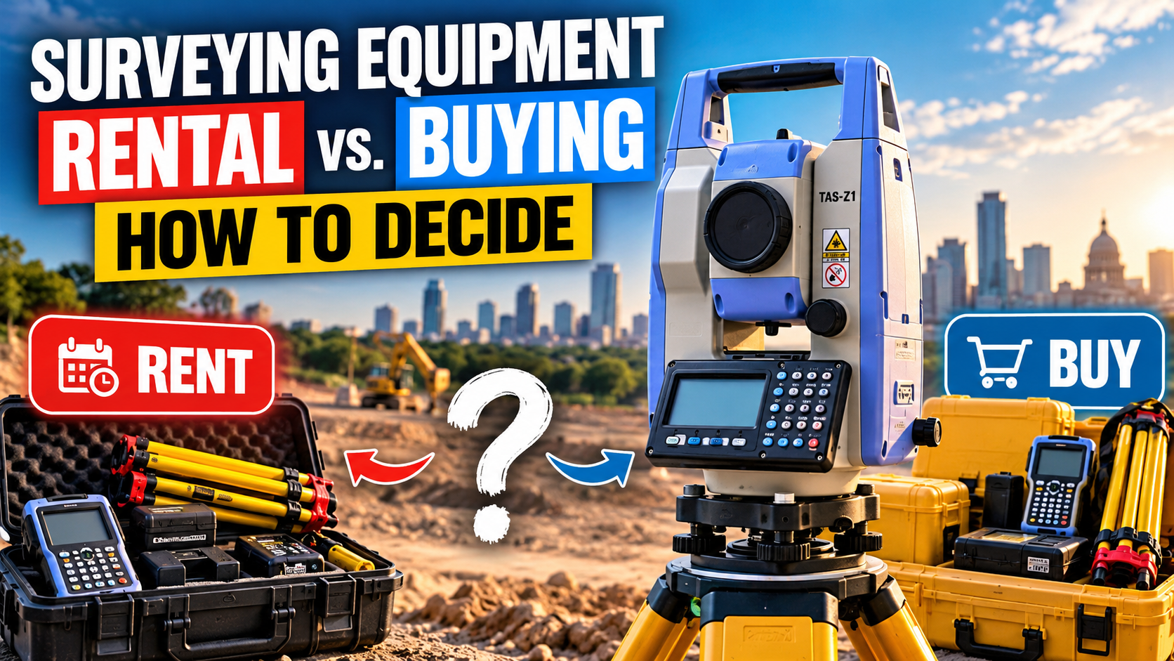
United Surveying Supplies offers the TAS-Z1 Total Station, a mechanical total station designed for surveying and construction applications.
For crews that only need an instrument temporarily, United Surveying Supplies also lists the TAS-Z1 in its surveying equipment rental fleet.
3. Handheld 3D Laser Scanner
Reality capture and mobile LiDAR are becoming increasingly useful in surveying, engineering, construction, and mapping.
A handheld scanner can help collect dense 3D spatial data for existing-condition surveys, as-built documentation, volume calculations, engineering surveys, digital twins, and other reality-capture workflows.
The Tersus MVP S1 Handheld Laser Scanner combines 360-degree LiDAR, RTK positioning, panoramic imaging, and mobile scanning in a compact handheld system.
For companies exploring 3D scanning without immediately purchasing equipment, the MVP S1 is also available through the United Surveying Supplies rental program.
4. Auto Level
Despite advances in GNSS and total station technology, optical leveling remains important for many surveying and construction applications.
An auto level can be used for:
- Elevation checks
- Benchmark transfer
- Construction layout
- Drainage work
- Foundation work
- Site grading
The Sokkia B40A-25 Auto Level – 24x Magnification is one option available through United Surveying Supplies.
5. Rotary Laser Level
Construction and survey crews frequently use rotary lasers to establish or check elevations over a jobsite.
The Spectra Precision LL300N Laser Level, Receiver & Case provides automatic self-leveling and is designed for demanding outdoor jobsite conditions.
Rotary laser equipment is particularly useful for grading, excavation, concrete, foundations, site development, and general construction layout.
6. Carbon Fiber Rover Rod
A GNSS receiver needs a dependable pole for field data collection.
The SECO 8.14 ft Carbon Fiber Rover Rod – Snap Lock is designed for GPS and surveying applications and combines carbon fiber and aluminum construction to reduce field weight.
For surveyors spending an entire day collecting points, pole weight, lock reliability, graduations, and adjustability can make a noticeable difference in field productivity.
7. Survey Bipod
A bipod helps stabilize a rover or prism pole when the operator needs the setup to remain stationary.
United Surveying Supplies carries the SECO Anti Crush Thumb-Release Bipod, designed to hold compatible GPS antenna and prism poles while reducing the risk of crushing carbon-fiber poles from excessive clamp pressure.
A bipod can be especially useful during control observations, construction stakeout, repeated measurements, and longer GNSS occupations.
8. GPS Antenna Tripod
Some GNSS workflows require a stable tripod-based setup rather than a handheld rover pole.
The SECO Graduated Collapsible GPS Antenna Tripod provides adjustable working heights and is designed for GPS and machine-control applications.
Stable mounting equipment is particularly important when establishing a base receiver or collecting observations where consistent antenna position is required.
9. Wood Survey Lath
Survey lath remains one of the most common consumable supplies on surveying and construction projects.
Lath provides a highly visible marker for property boundaries, construction layout, grade information, utility locations, clearing limits, and reference points.
United Surveying Supplies carries multiple sizes, including the 48-inch x 3/8-inch x 1 1/2-inch Wood Survey Lath – 50/Bundle.
Survey companies that use large quantities of wood lath may benefit from keeping multiple bundles stocked in each field vehicle.
10. Survey Hubs
Survey hubs are shorter and heavier than standard lath and can be driven closer to ground level to establish a reference location.
The 2-inch x 2-inch x 6-inch Wood Survey Hubs – 100/Box are available from United Surveying Supplies for survey and construction marking applications.
Crews often use hubs together with taller lath, flagging, or whiskers so the actual reference point remains secure while still being easy to locate.
11. Survey Marking Whiskers
Highly visible marking supplies can make control points and field markings easier to identify around construction equipment, vegetation, and active jobsites.
United Surveying Supplies carries 6-inch Pink Glo Survey Whiskers.
Whiskers can be used with nails or wood stakes and are useful where traditional flagging may become damaged or difficult to see.
12. MAG Nails
Survey crews need dependable physical markers for control and reference locations.
The ChrisNik 2-inch x 1/4-inch MAG NAIL is available through United Surveying Supplies and is designed as a durable survey marking nail.
MAG nails can be useful for establishing reference points in surfaces where a durable metal marker is appropriate.
13. Magnetic Locator
Boundary surveyors frequently need to locate buried iron or steel monuments.
The Subsurface ML-1 Magnetic Detector is a handheld locator designed to detect objects such as iron corner markers, well casings, steel drums, and other buried ferrous objects.
For boundary and property survey crews, a magnetic locator can dramatically reduce the time spent searching for existing monuments.
14. Engineer's Measuring Tape
Even crews using advanced GNSS and robotic equipment still rely on traditional measuring tools every day.
The Lufkin 12-foot Engineers Measuring Tape – Tenths provides decimal-foot measurements for field checks and short-distance measurements.
Measuring tapes are commonly used for instrument heights, antenna heights, prism heights, offsets, equipment setup, and quick field verification.
15. Survey Flagging
Flagging is one of the simplest but most frequently used products on a survey truck.
United Surveying Supplies carries Presco Texas Purple Roll Flagging, a professional field-marking product manufactured for outdoor use.
Surveyors often carry several colors so crews can visually separate boundaries, utilities, proposed work, control, grading, and other project information.
16. High-Visibility Survey Safety Vest
Surveyors regularly work around roads, construction equipment, excavation, and moving vehicles, making visibility an important part of field safety.
The Radians SV55 Type R Class 2 Heavy Duty Engineer Safety Vest is designed for field engineers, surveyors, and construction personnel.
The correct PPE will depend on the site, employer requirements, and applicable safety standards.
What Should Be in a Land Surveying Truck?
The exact survey truck inventory depends on the type of projects your crew performs.
A construction crew may rely heavily on a total station, GNSS receiver, rover rod, bipod, lath, hubs, whiskers, and marking products.
A boundary crew may place greater emphasis on GNSS equipment, a magnetic locator, survey nails, measuring tools, hubs, and marking supplies.
A reality-capture crew may add a handheld 3D scanner and supporting GNSS equipment to its field setup.
The goal is not simply to carry as much equipment as possible. A well-equipped survey truck should contain the instruments, accessories, consumables, batteries, and safety equipment needed to complete the crew's typical work without unnecessary trips back to the shop.
How to Choose the Right Surveying Equipment
Before buying new surveying equipment, consider the actual workflow first.
Think about:
- What type of surveying work will the equipment support?
- How often will the crew use it?
- What accuracy does the project require?
- Does it work with your existing field and office software?
- What accessories are needed to make the instrument field-ready?
- Will the equipment be used often enough to justify purchasing instead of renting?
- Where will calibration and service be handled?
The most expensive instrument is not automatically the best choice. The best equipment is the setup that fits your crew's actual field workflow.
Buy or Rent Surveying Equipment?
Some equipment makes sense to own because crews use it every day. Other technology may only be needed for a temporary project.
United Surveying Supplies offers surveying equipment rentals for several professional instruments, including GNSS receivers, total stations, and 3D scanning equipment.
Renting can be useful when:
- A project is short-term
- A second crew temporarily needs equipment
- Your primary instrument is being serviced
- You want to test new technology before purchasing it
For equipment used regularly throughout the year, buying may provide better long-term value.
Don't Forget Surveying Equipment Calibration
Owning professional equipment also means keeping it maintained.
United Surveying Supplies provides surveying equipment calibration services for robotic total stations, manual total stations, rotary lasers, auto levels, and other compatible equipment from its Round Rock location.
Regular field checks and periodic calibration can help identify equipment issues before they affect project measurements.
Where to Buy Land Surveying Equipment in Texas
United Surveying Supplies is based in Round Rock, Texas, serving professional surveyors, contractors, engineers, construction companies, and field crews throughout Central Texas and nationwide.
Customers can shop for professional surveying equipment alongside everyday field supplies such as lath, hubs, marking products, measuring tools, safety equipment, poles, tripods, and accessories.
For crews searching for surveying equipment in Texas, survey supplies near Austin, or a survey equipment supplier in Round Rock, visit United Surveying Supplies.
Frequently Asked Questions About Surveying Equipment
What equipment does a land surveyor use?
Modern land surveyors commonly use GNSS receivers, total stations, levels, data collection equipment, rover poles, tripods, measuring tools, magnetic locators, lath, hubs, nails, whiskers, flagging, and safety equipment.
What are the most important surveying tools?
The answer depends on the type of work. GNSS receivers and total stations are important for precision positioning and measurement, while poles, tripods, measuring tapes, marking products, and field supplies make those instruments usable in day-to-day fieldwork.
Where can I buy surveying equipment near Austin, Texas?
United Surveying Supplies is located in Round Rock, Texas and supplies professional equipment and field materials to customers throughout Austin, Round Rock, Central Texas, and across the United States.
Can surveying equipment be rented?
Yes. United Surveying Supplies offers rental options for selected GNSS receivers, total stations, and 3D scanning equipment.
Where can surveying equipment be calibrated in Texas?
United Surveying Supplies provides professional surveying equipment calibration from its Round Rock location for compatible total stations, rotary lasers, auto levels, and other instruments.
Build a Field-Ready Survey Crew
A useful land surveying equipment list should cover more than the primary instrument.
Professional crews need reliable measurement equipment, stable mounting accessories, marking supplies, field tools, safety equipment, and access to rental and calibration support.
Whether you're building a new survey crew, expanding your equipment fleet, or simply restocking the truck, United Surveying Supplies provides professional surveying equipment and supplies from Round Rock, Texas for customers throughout Texas and nationwide.
ADDITIONAL HELPFUL INFORMATION